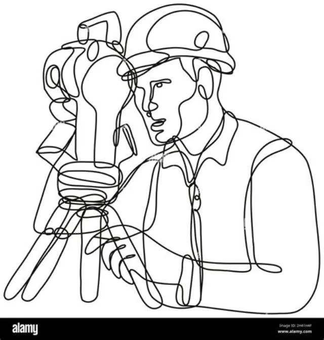
Launch Your Career as a Geodetic Surveyor with the NGA
Are you a technical professional with a passion for precise measurement, data analysis, and field operations? The National Geospatial-Intelligence Agency (NGA) is currently seeking talented Geodetic Surveyors to join its elite team of intelligence professionals. This permanent, full-time opportunity offers the chance to work at the intersection of geography, mathematics, and national security.
About the National Geospatial-Intelligence Agency
The NGA is the world leader in providing timely, relevant, and accurate geospatial intelligence (GEOINT). By evaluating imagery, maps, charts, and terrain data, the NGA provides users with the ability to visualize complex environments. As a Geodetic Surveyor, you are the backbone of this mission, ensuring the fundamental data relied upon by military and civilian leadership is precise and actionable.
Job Responsibilities
Geodetic Surveyors are tasked with conducting high-precision surveys to support various mission needs. Your day-to-day activities will include:
- Operating GNSS receivers, electronic total stations, and LiDAR systems.
- Computing, adjusting, and evaluating geodetic and geophysical survey data.
- Providing technical expertise on complex surveying issues.
- Preparing detailed field notes, reference maps, and sketches.
- Implementing quality control procedures to ensure data integrity.
- Leading team efforts in the field and coordinating project logistics.
Field vs. Office Work Comparison
| Feature | Field Surveying | Data Analysis |
|---|---|---|
| Environment | Remote / Harsh Locations | Office / Laboratory |
| Primary Tools | GNSS & Total Stations | Processing Software |
| Physical Demand | High | Low |
| Core Goal | Data Acquisition | Interpretation & Reporting |
Requirements
To be considered for this competitive position, you must possess the following:
- Education: A Bachelor's degree in Geodesy, Math, or a Physical Science with at least 30 semester hours in relevant subjects including calculus.
- Experience: Demonstrated ability to operate GNSS and LiDAR equipment and proficiency in baseline processing software.
- Adaptability: The ability to work in rugged environments and handle the physical demands of field surveying (lifting 45+ lbs).
- Clearance: Ability to obtain and maintain a Top Secret/SCI clearance.
Salary and Benefits
Positions with the NGA are highly compensated, with a salary range between $73,939 and $161,313 per year, depending on qualifications and pay band placement. Employees enjoy a suite of federal benefits including comprehensive medical insurance, retirement contributions, and potential recruitment incentives.
If you are ready to apply your mathematical and surveying skills to a mission that protects the nation, we encourage you to apply. This role offers unparalleled professional growth and the chance to work with the best geospatial tools in the world. Visit the NGA Careers Portal today to start your application.
Why This Geodetic Surveyor (Open Continuous) Job Matters
Launch your career at the forefront of global intelligence by shaping the world's foundation data as a Geodetic Surveyor for the NGA.
Geodetic Surveyor (Open Continuous) Job Overview
The National Geospatial-Intelligence Agency (NGA) is seeking detail-oriented Geodetic Surveyors to join our high-mobility team. In this role, you will perform critical geodetic, geophysical, and LiDAR surveys that support national security and intelligence objectives. You will operate advanced technical equipment, analyze complex datasets, and provide essential expertise in environments ranging from domestic field sites to global locations.
Requirements for Geodetic Surveyor (Open Continuous)
- U.S. Citizenship
- Ability to obtain and maintain a Top Secret security clearance with SCI access
- Successful completion of a polygraph examination and drug test
- Bachelor's degree in Geodesy, Mathematics, Physical Science, or a related field (with at least 30 semester hours in qualifying coursework, including calculus)
- Experience operating GNSS receivers, electronic/robotic total stations, and LiDAR
- Experience with GNSS baseline processing and least squares adjustment software
- Capability to perform field work in harsh, rugged, or remote environmental conditions
- Proven experience leading teams or coordinating projects
Preferred Qualifications for Geodetic Surveyor (Open Continuous)
- Professional Land Surveyor (PLS) or Professional Engineer (PE) license
- Experience collecting and analyzing gravity, magnetics, or astronomic positioning data
- Advanced experience with airborne or mobile LiDAR platforms
- Advanced coursework in differential equations, linear algebra, and statistical analysis
- Demonstrated ability to perform high-level scientific and technical data interpretation
Federal Benefits & Perks
- ✓Competitive federal salary with potential for performance-based increases
- ✓Recruitment incentives available for eligible candidates
- ✓Comprehensive health and life insurance options
- ✓Access to federal retirement programs
- ✓Opportunities for professional development within the Intelligence Community
- ✓Exposure to high-stakes, real-world geospatial intelligence projects
💡 How to Apply Geodetic Surveyor (Open Continuous) Job & Insider Tips
Application Steps for Geodetic Surveyor (Open Continuous) Job
- Visit the official NGA Careers Portal to initiate your application.
- Utilize the NGA resume builder to create your application, ensuring it is limited to 2 pages.
- Clearly document your experience with GNSS, LiDAR, and data processing.
- Attach an optional cover letter if desired to highlight your qualifications.
- Monitor your status through the online portal throughout the selection process.
💡 General Tips
- Use specific examples of your field experience and project leadership in your resume.
- Ensure your degree information is clearly listed and relates to the required 30 semester hours of science/math coursework.
- Review the Assignment Description thoroughly to align your skills with NGA’s specific survey missions.
- Apply well before the closing date to ensure all electronic components are processed correctly.
Frequently Asked Questions
What level of security clearance is required for this position?
This role requires a Top Secret clearance with access to Sensitive Compartmented Information (SCI) and successful completion of a Counterintelligence Polygraph.
Is travel required for this job?
Yes, Geodetic Surveyors travel frequently to perform fieldwork in various locations, including remote areas and locations with extreme weather conditions.
Are telework options available?
This position is currently designated as telework-ineligible due to the nature of the fieldwork and equipment maintenance required.